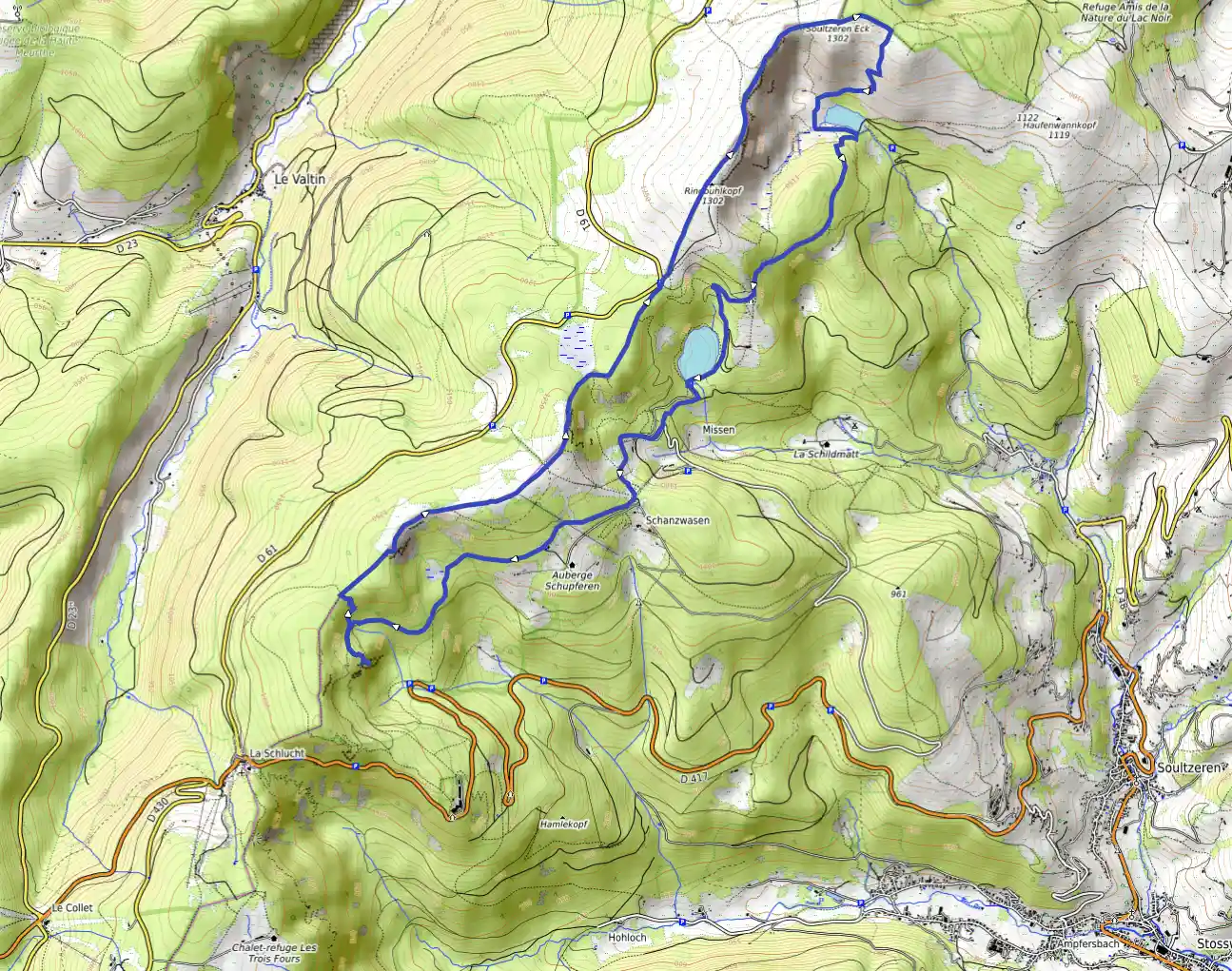
Lac vert, Tanet, Forlet par les crêtes
August 17, 2025

Soultzeren, Grand Est, France
Easy
Not completed
Distance 15.14 km
Est. duration 05h 02m
Elevation Gain 676 m
Elevation Loss 674 m
Category Hiking
Description

No description for now...
Route
Start
2.19 km
Tourbière
48.07526, 7.040633.53 km
Point de vue
48.06983, 7.034484.60 km
montée
48.07562, 7.034806.30 km
Tanet
48.08362, 7.052186.77 km
Tourbière
48.08799, 7.053508.63 km
Hightest Point
48.10066, 7.0672210.33 km
Déscente
48.10804, 7.0815615.14 km
Finish